On Friday, we got away early, returning to La Posta Quemada Ranch to go north on the AZ Trail. The trail in this direction climbs above the south side of the 'creek' beside the ranch, but stays below the trail which heads south. It then works its way back down the the creek area on the east side of the ranch before heading northeast around a hill, then climbs north over the shoulder of he hill into Posta Quemada Canyon. Lots of cottonwoods along the bottom of the canyon, indicating there must be a good supply of water.
Then it works its way along the a ledge above the canyon floor past El Bosquecito (the Forest) Picnic Area below the Colossal Cave visitor center. The trail continues along until it gets down into the canyon. There is supposed to be the Heavy Boy Mine location close to this point. We figure it was behind a locked gate,
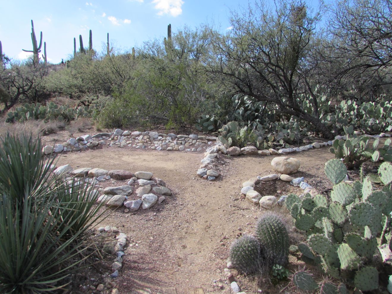
and perhaps a fenced in area warning about sinkholes. This was our turnaround point, so we headed across the wash to a little campground that was built as part of the CCC effort at Colossal Cave in the late 30's, that is quite nice.
 |
| table |
 |
| tent area and fire pit |
|
We ate granola bars in the sun at one of the tables. We decided not to take the long loop back (we were at 2.8 mi by this point), and take the road through the park. When we got back, we found this would have taken us 1.4 mi. However, we came to a trail marked Link to Posta Quemada Ranch. This was a relatively direct and flat 0.8 mi route along the Canyon back to the ranch. Along this trail, there was a crested saguaro.
Later in the day, we noticed that another Titanium trailer
had arrived. We went over to see how they liked their trailer. They
were a nice couple from la belle province who have been traveling to
Arizona and California for 33 years. Since he has an irrigation
company, and her work is flexible, they can travel for 3 months in the
winter.
Saturday, we watched football and curling most of the day. Before lunch, we did a walk around the fitness route in the park, ending up back at the La Mesa RV dealer's units that had been brought over to the fairgrounds for a one dealer RV show. We checked out a couple of motorcoaches, a few smallish trailers, a few 35+ foot ones, and a few toy haulers. Despite some interesting features, we still like the layout and storage of our trailer as well as any of them, and better than most. We don't have the bells and whistles like automatic levelers, awnings and satellite TV but doing that work ourselves is part of the experience. And, we would prefer spending money on extra travel than on leather furniture, granite countertops, kitchen islands that drive up some of the prices as high as US$500,000. After looking through the units, John had a hot dog lunch courtesy of La Mesa.
Sunday was more football and curling.
Monday, we picked up our generator, all tuned up, from Musselman Honda. The price ,about C$200, was pretty close to their estimate, so we were happy with that. They also showed us how to drain the carburetor when we aren't planning on running it for a while. Since we were on the west side of the city, we headed to the trailhead for Gould Mine and King Canyon Trails. This trailhead is located a few hundred yards past the Arizona Sonoran Desert Museum, which we visited a couple of years ago. It goes into the south end of the west unit of Saguaro National Park. They had signage explaining that there was no maintenance, garbage removal, etc being done during the current partial US government shutdown. The hike up to Gould Mine was pretty good. There is one large shaft which is well fenced and covered, and one stone building about 9ft by 12 feet.
 |
| view west from the mine |
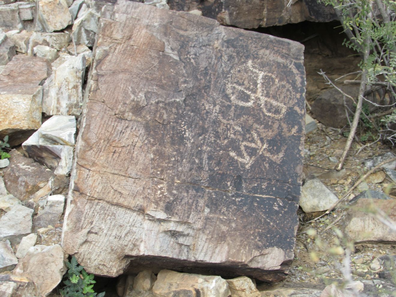
From there we continued on a cross-trail to the east toward the King Canyon Trail. Near the King Canyon Trail, there is a picnic area on a high point, with concrete picnic tables and benches, some of them under a ramada for shade. We enjoyed the view while we ate our sandwiches. We were told by some people down at the King Canyon trail that there were petroglyphs on the walls of the canyon, but they were hard to see. We saw a few that may have been petroglyphs, but they weren't real distinct.
The King Canyon trail at this point is road width, so easy walking. Going back to the trailhead, it does climb along a ridge above the wash before descending to the trailhead. We saw a few rare little flowers in bloom.
 |
| flower | |
In preparation for a two week stay in Ajo, west of Tucson, we needed to pick up a few groceries that we can only find at Walmart. When Joan dug into her purse to pay, she discovered that her card holder was missing, as well as our passports. When we go hiking, she transfers them to her fanny pack, and leaves her purse in the truck. She realized that when we got back to the trailhead, she had dug them out of her pack and set them on the tonneau cover on the truck while John dug her purse out of the truck. She usually gets the purse herself and carries it and the pack around to the passenger side to transfer the stuff back to her purse. Since this was a change in process, the wallet and passports were left on the tonneau cover. She was sick with worry, particularly since we need the passports, even to go to Ajo, since we go through a border patrol inspection station on the way. We drove back to the trailhead, looking for the card holder and passports along the way, with no success. After looking all over the trailhead, we decided to cancel our credit cards. We started with Scotia. When they asked where they could send replacement cards, we explained we were only in Tucson for a few more days, and weren't sure where we would be next due to the missing passports. They told us that the credit cards were cancelled, and the debit card blocked. If we found the debit card by the end of the day, we could get it unblocked. Then we phoned BMO to report those cards lost. While we were on the line with them, we were surprised to get a call from Trever, so we told them not to proceed and we would call them back if necessary. We didn't get to Trev's call, but he texted us that he had received a call from Byron, who had found the card holder, and gave us his number. We called his number, which showed up as a Chicago number. He and a friend were biking and had noticed the card holder, and picked up all the cards they could find, which were scattered around a pull-out along the road. He texted his address to us for the GPS. We told him we were going to slowly work back from the trailhead to where he told us they found the card holder, so it might take a while to get there. We really lucked out, noticing the passports on the side of the road, still in their ziploc bag along with a spare camera battery. We headed to Byron's place, where he was waiting outside as we came up. They told us that it looked like a car had run over the card holder, as the credit cards where bent almost to broken. They told us that there was no cash in the holder. Joan assured them that she didn't carry cash in it. Byron said it was really smart that we had 'in case of emergency' information in the holder, so he was able to call Trever to let him know he had found the 'wallet'. Joan noticed that the Scotia debit card and medipac card for our travel insurance were missing. We got them to explain as well as possible where they found the cards, so we could go back before dark (about an hour away) and see if we could find them. After thanking them profusely, we headed back and worked our way south from about the halfway point on our return trip through Tucson Mountain Park, since they had found the cards near the south end of the park. We checked each turnout on the west side until we got past the point they had indicated. A bit further down, we noticed a scrap of white at another pullout. It had our US phone number on it, so we knew we had found the right place. We found the debit card, on the opposite side of the road under a bush. Somehow, it was the only card that had wound up on that side. We were thrilled that we had located everything we needed except the medipac card, which isn't as critical. We couldn't believe how far the card holder had gone before it fell off the truck. The passports were 2.3 miles south of the trailhead but the card holder was 5.3 miles south of the trailhead.
As we were driving back to the park in the dusk, we got a call from Rupert. He was concerned as he had noticed us leave the park early, and we hadn't returned yet. We rarely stay out that late. We assured him we were fine, and would tell him our tale when we got back, which we did. He and Helen were surprised we had so much luck getting our stuff back.
On Tuesday morning, Joan called Medipac to report the last insurance card. They assured her that no one could use the card without proper id, and verification with security questions. Since we have copies of the insurance on our email, we don't need to get a new card sent. Then she called BMO to ensure that those credit cards were still active since automatic payments for truck insurance, phone and satellite are paid automatically with them. Glad we weren't paying them on the Scotia cards that we reported lost before we found out the cards had been located.
After sorting all that out, we drove back to the Colossal Cave picnic area to the next section of the Arizona Trail going north toward Saguaro Park. We overlapped about half a mile because we parked at the south picnic area, which we had seen on our previous trip on the trail. The trail going south from here follows a plateau above the main north south wash going through this area. It is fairly level. From here, we could see that the road from the locked gate did go up to an excavation, perhaps Heavy Boy Mine. There wasn't a significant debris pile below the excavation, so there couldn't have much here. In about a mile, the trail went back down to the main wash at La Selvilla picnic area, which has a bunch of tables, and a restroom building. We were passed by one cyclist before we got to this location. The trail then climbs back up to the plateau levels out again, only detouring along, then down across a couple of washes. At about the 2 mile point, we came to a point where the wash turns northeast, but the trail crosses a low saddle into another valley looking north across Saguaro Park.
 |
| folds at the top of a hill |
At 2.3 miles, we turned around and headed back. Not too far from the picnic area, we were passed by two cyclists, the second one with a young black labrador running alongside. We stopped to eat apples at the picnic there. While we were there, another cyclist caught up with her partner. Two other cyclists went by. Interesting that in the over two hours we were out, 5 cyclists came by in about 15 minutes. On this trip, we came across a section with a bunch of bushes that we don't remember seeing before. We couldn't find out what they are. Click on the picture to get a better view of the leaves.
 |
| bush |
From the picnic area, we took the road back to the other picnic area. It was the same distance but an easier walk. We discovered that the sinkholes were on the road route. Now the road detours into the wash below that spot.
 |
| sinkhole area where the road used to be |
Wednesday, we did some cleanup and other prep work for leaving Tucson. We also went back to look for some 'nice-to-have' cards we had lost, but didn't get lucky this time. Then we picked up a few items at Costco, and stopped for diesel. It turned out that John's Scotia credit card as well, so we used our BMO card, which fortunately hadn't been cancelled before we found out the cards were found. After we got back to the park, we visited with Rupert, Helen and Kerri.
Thursday, we got all packed up, said good-bye to Rupert and Helen, and headed 150 miles west, through the Tohono O'odham Nation reserve to the town of Ajo, on highway 86 north of Organ Pipe Cactus National Park. On the way across we came up behind an oversized road that took a lane and a half. For the first while, it made good time, because there were good shoulders. Lead cars were getting on-coming traffic to pull right over and stop on the opposite shoulder. Then the load slowed down since the shoulders were gone, and on-coming traffic had to find a place where they could pull off the highway. Fortunately, they came to a side road with a turning lane so the load could be pulled over far enough to let the following traffic get past.
After checking in and arranging with the RV office to receive our credit cards we phoned the bank to get them 'rushed' to us.


No comments:
Post a Comment